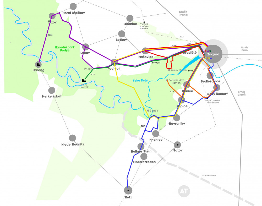
Znojmo – Sealsfieldův kámen – Znojmo
Length: 17 km (10.5 miles)
Elevation: 288 m

This cycling route leading to a famous viewpoint 80 meters above the canyon of the Dyje river is one of the slightly more difficult ones and it is suitable for families with children too. The surface of the route is half asphalt and half gravel, except for 3 short stretches in the woods above Konice village. Begin your ride by going through the town of Znojmo down to a crossroads near Znojemská přehrada and alongside the river to Sedlešovice and Nový Šaldorf. Continue on the road, go past Modré sklepy. After you cross the railroad the road will take you to the left to Konice, and thus you will avoid the difficult elevation you would encounter at Kraví hora. To get to the vantage point you need to join the cycle route number 5001 in Popice village. You can get back to Znojmo using the cycle route number 5000.
Znojmo – Králův stolec – Znojmo
Length: 18 km (11.2 miles)
Elevation: 345 m

This cycling route will take you to one of the most popular viewpoints near Znojmo. The surface is asphalt and there will be unpaved roads, however, they are easily passable. The difficulty level is a rather easy one taking into account the length and elevation levels. It is suitable even for children ages 10 and up. You can join the cycle route if you go from Okresní soud (District Court), continue to a bridge across the Dyje river. Do not cross it however, it should be to your left when you continue. Then, go past Muzeum motorismu (Museum of Motoring), enter Granické údolí (Gránice valley). From this point continue by road to Hradiště and at the end of it, at a crossroads, go left using the 500EV13 cycle route and then turn to go to the viewpoint. To get back to Znojmo you can go through Mašovice village, direction Hradiště.
Znojmo – Šobes – Znojmo
Length: 27 km (16.8 miles)
Elevation: 517 m

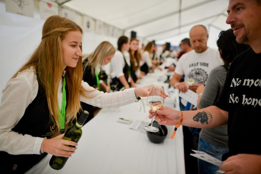
The most frequented cycle route number 5000 going through vinice Šobes (the Šobes vineyard) is a rather pleasant one, only slightly difficult as it includes two steep elevations (Šobes and Kraví hora, 15% elevation). The surface is asphalt, gravel and unpaved roads. To get to the Šobes vineyard you will again begin at Okresní soud (District Court) where you will continue to go to the bridge across the Dyje river. From here you will need to go to the top of Kraví hora (Cows hill) where you will need to overcome steep elevation, and then you will go through Konice, Popice and Havraníky villages and get to a crossroads. From there go in the direction of Šobes vineyard. You will be delighted to find out there is a wine degustation booth where you can taste Znovín Znojmo wine. To go back to Znojmo you need to go through Podmolí, Mašovice, and Hradiště villages.
Znojmo – Hardegg – Znojmo
Length: 53 km (33 miles)
Elevation: 960 m

The cycle route from Znojmo (5000) to Hardegg (5003) and back mostly has asphalt and partially gravel surface. It is of medium difficulty given both its length and the harshness of the terrain. There are several slightly steeper elevations near Hardegg, occasionally around 9%. You will begin from Znojmo where you will join the 5000 cycle route and get from Znojemská přehrada (Znojmo Dam) through Gránické údolí (Gránice valley) up to Hradiště village. At the end of the route at a crossroads, you will go left to join the 5000EV13 cycle route. You will go through the villages of Podmolí, Lukov, and Čížov. There you will join the 5003 cycle route. It will lead you to Hardegg. To go back to Znojmo you will need to get through the villages of Lukov, Podmolí, Mašovice, and Hradiště.
Znojmo – Nový hrádek – Znojmo
Length: 33 km (20.5 miles)
Elevation: 600 m

If you choose this route leading to the romantic ruin Nový Hrádek (New Castle) you will need to go through a more challenging terrain. The route is partially made of asphalt, but mostly it consists of unpaved roads with big roots in its way and parts of the route are made of gravel. You will go from Znojemská přehrada (Znojmo Dam) by cycle route 5000, go through the Gránice valley and to Hradiště village, at the end of which you will see a crossroads and go left to join the 5000EV13 cycle route. This trail leads to Podmolí village, at the end of which you turn at Příčky crossroads and join the cycle route 5002 to get to Nový Hrádek.
Znojmo – Retz – Znojmo
Length: 34 km (21.1 miles)
Elevation: 830 m

The cycle route is partially asphalt surface, but mostly it is gravel, and a short part goes through a broad-leaved forest. The level of this trail is of medium difficulty because of both its length and elevation. To get there from Znojmo, you need to begin from the crossroads sign near Znojemská přehrada, and then go to Kraví hora (15% elevation). The cycle route number 5000 will lead you to Pod Šobesem crossroads, where you will join the cycle route number 5239. This trail will lead you past the border to Heiliger Stein and even to the town of Retz itself. To go back you can either go the same way or you can use the Znojmo – Retz road.